Two hikers crossing a snow-covered mountain ridge
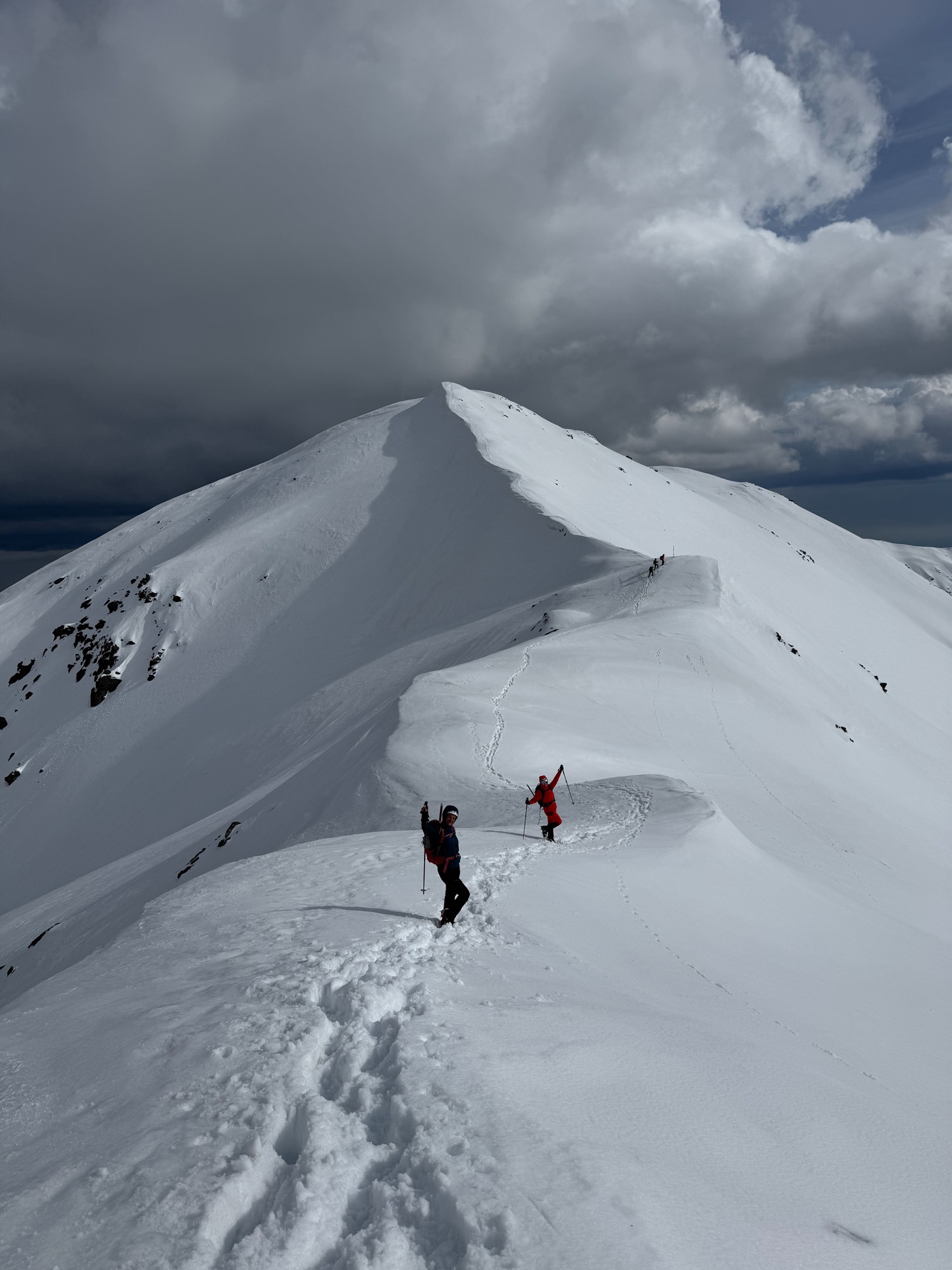
GPS activity tracker · for the outdoors
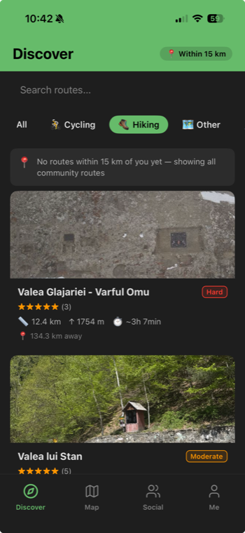
Track every trail.
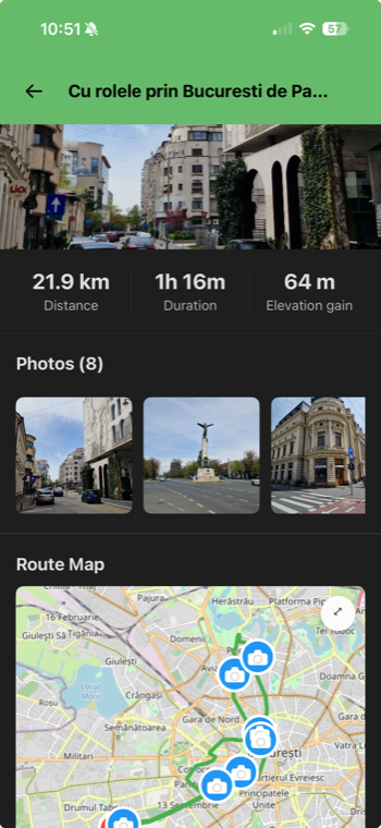
Relive every adventure.

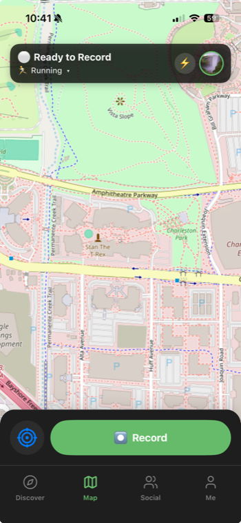
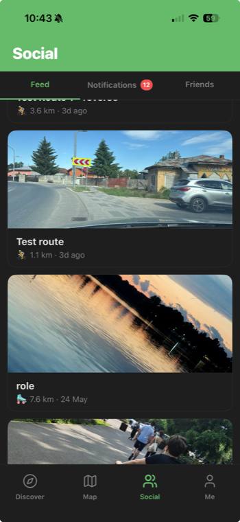
Trackster maps your hikes, runs, rides — and city breaks — with live GPS, even with the screen locked. It pins your photos along the route and lets you share the whole journey with friends.

★★★★★ built for hikers, runners & riders — privacy-first, no ads
Trackster route detail screen with map, photo pins and elevation profile
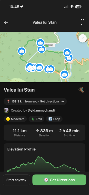
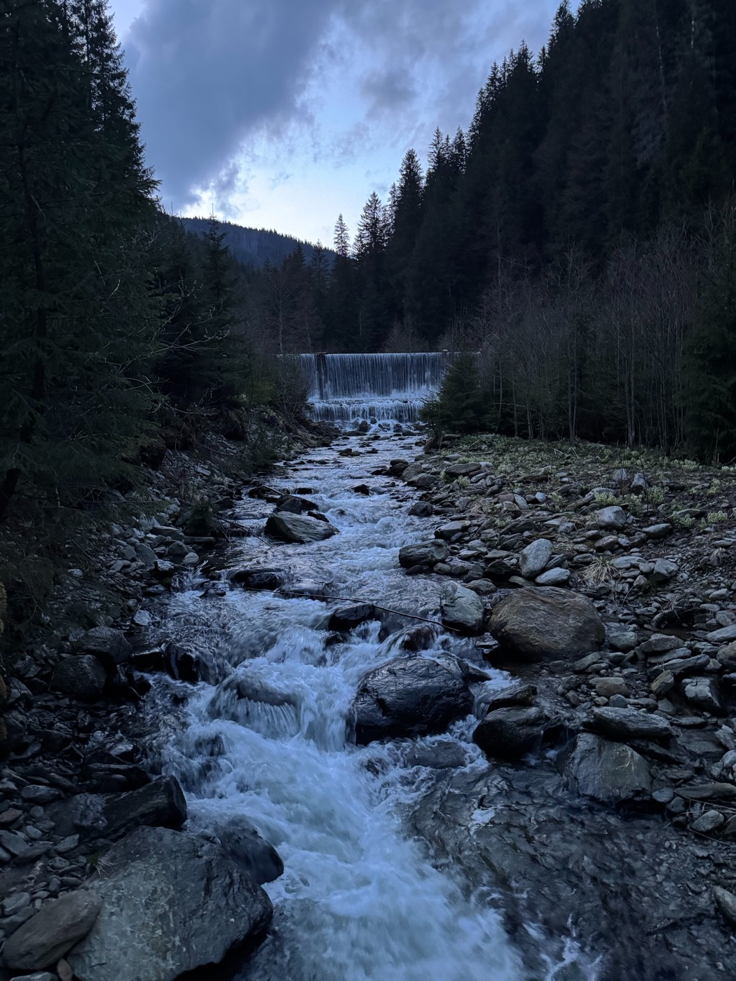
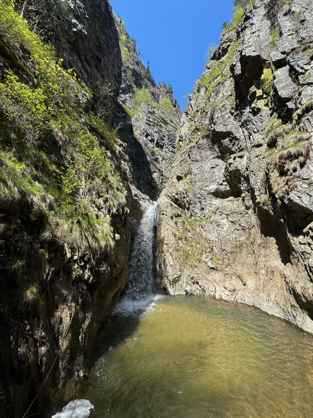
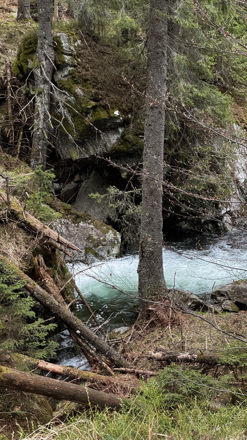
LAT 45.4017°NLON 25.4567°E
ELEV ↑ 836 mDIST 11.1 km
The recording engine

Hit record. Put your phone away.

Trackster keeps mapping your route in the background — screen locked, phone in your pocket — and never drops a point.

01 — Track

Your route draws itself, the moment you move

One tap from the map starts recording. Watch your path appear in real time, with live distance, elevation, and time as you go.

  • Background tracking that survives a locked screen and a long climb
  • Live distance, elevation gain, and estimated time
  • Hiking, running, cycling — or a city break on foot or skates
Trackster map screen with the green Record button
Trackster Discover screen showing nearby routes with difficulty and stats
02 — Discover

Find your next route, ranked by what matters

Browse community routes near you — filtered by sport, sorted by distance, graded by difficulty. Every route shows length, elevation, and estimated time before you lace up.

  • Filter by Hiking, Cycling, and more
  • Difficulty grades, elevation profiles, and turn-by-turn directions
  • See exactly how far each trailhead is from you
03 — Relive & share

Every adventure, told the way it happened

Finish an activity and Trackster builds the story for you: your route on the map, your stats, and every photo pinned to the spot you took it. Share it to your feed, react to friends' trips, and keep the conversation going.

  • Photos pinned along your route, where you took them
  • A social feed of friends' hikes, runs, and rides
  • Likes, comments, and reactions on every activity
Trackster activity detail with stats, photo grid and route map
Trackster social feed of friends' activities
Trackster in-app chat conversation between friends
04 — Connect

Bring your crew. Plan the next one together.

Add your friends, follow their trips as they happen, and message them right inside Trackster — no jumping to another app to sort out the details. Swap plans, compare routes, and pick the next trailhead together.

  • Add friends and follow their hikes, runs, and rides
  • Real-time chat built right into the app
  • Keep the whole adventure — and the planning — in one place
Built by the people who walk it

Let's make this map
great — together.

Trackster grows with every route its community records. The trail you take today — an alpine ridge or a weekend city break — could be the one someone else discovers tomorrow. Record it, publish it, and help the next explorer find their way.

So lace up, hit record, and let's build it together.

Start your first track Free · your route, your community
01

Record

Track your hike, run, ride, or city walk — Trackster maps it as you move.

02

Publish

Add your photos and share it as a public community route in a couple of taps.

03

Inspire

Others discover your route, follow your path, and add their own adventures.

Your next trail is waiting

Start tracking your adventures today.

Free to start. Privacy-first. No ads, ever.